.jpeg)
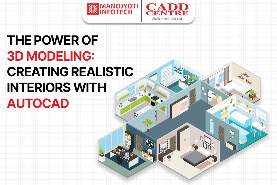
What does 3D Modeling entail and how is it useful today?
A 3D digital representation of any object or surface can be created using the computer graphics technology known as 3D modelling.
A mesh, which is a group of vertices that make up an object, is created by an artist using specialised software to manipulate points in virtual space (known as vertices).
· These 3D objects can be manually built or formed automatically by deforming the mesh or other vertices.
· Video games, film, architecture, art, engineering, and commercial advertising are just a few of the media that use 3D models.
· Character animation and special effects require the ability to completely animate digital objects, which is only possible with 3D modelling.
· The mesh, which is essentially a collection of points in space, is the fundamental component of a model.
In order to give machine operators feedback on topics like goal grades and bucket or blade position, machine control uses a variety of positioning sensors. The 3D model can be used as a reference by the machine operators to make sure the task is being done correctly. With the aid of GPS technology and machine sensors, employees may determine their location in relation to the points of the replica in the field.
Users started switching from the usage of survey stakes, which surveyors manually set up and machine operators read visually, to 3D modelling in the field of machine control. To enable 3D earthworks modelling, a number of technologies were combined, including:
• CAD, which creates a 3D model from survey data.
• GPS, which enables architects to specify exact positions.
• Light Detection and Ranging (LiDAR), a technique for distant sensing that measures various distances using a pulsed laser.
• Aerial photogrammetry, a technique that allows engineers to glean topographical information from aerial photos acquired by drones.
• Point-cloud modelling, in which a model is built from a collection of three-dimensional data points created using laser scanning equipment.
ADVANTAGES OF 3D MODELING FOR EARTHWORKS
There are many benefits to using 3D models for earthmoving and machine control, including:
• More effective machine operation: Machines run more effectively because they move exactly in accordance with the measurements of the 3D model. You may use 3D modelling to get more done with your tools in less time. The improved efficiency also lowers the cost of fuel, repairs, and maintenance.
• Greater accuracy in the field: Machine operators can more easily follow project plans because they have access to the same data as surveyors do. When traversing a jobsite, workers won't have to rely exclusively on contours. The surface of the 3D reproduction is likewise constructed using the actual vertical and horizontal geometry of the landscape.
• Better plan accuracy: By finding conflicts, inconsistencies, and other problems in plans before construction starts, 3D modelling improves plan correctness and lowers costs associated with rework.
• Lower surveying expenses: 3D modelling eliminates the need for continual grade verification, resulting in a decrease in surveying costs. Lower surveying expenses can help you land more tasks and generate more money over time. As your business grows, the extra cash may also enable you to modernise your equipment and hire personnel.
What purposes does 3D modelling serve?
1. SITE LAYOUT
Communication of site plan, including the positioning of utility and landscape components, can also be facilitated using 3D models.
The position of electrical equipment, for instance, can be mapped. This can contain connections for signs, kiosks, decorations, and other electrically powered items as well as electrical service slabs, light poles, and connections for lighting. Electricians can swiftly and precisely put up these connections with the aid of a 3D model.
2. POWER CONTROL
Machine control is now more precise, effective, and affordable thanks to 3D modelling. Machine operators can view the job site on a screen while seated in the cab, replacing the need for conventional survey stakes. Based on measurements from the 3D model, a system of sensors controls the machine.
Bulldozers, backhoes, and excavators all have on-board computers, and the blades and buckets all have GPS sensors. At the jobsite, you can either install a GPS base station or sign up for a GPS service. Your machines' receivers will be in communication with the system type you choose.
3. PROGRESS REPORTS AND AS BUILTS
In addition to reporting project progress, 3D models can be used to create as-builts, which are updated drawings submitted once a project is complete. Throughout an assignment, you can collect fresh information to update your 3D models and depict the site's current appearance. Throughout the facility's existence, a 3D model developed after a project is finished can be used for tasks like maintenance, operations, and asset management.
AutoCAD Civil 3D is a dynamic software that gets you ready for an impactful role in the construction and Civil engineer sector. So learn from our expert faculties. Join at Cadd centre Nagpur for Civil CAD Courses we also provide certified training program for AutoCAD Architecture Training Courses.